About The Trail
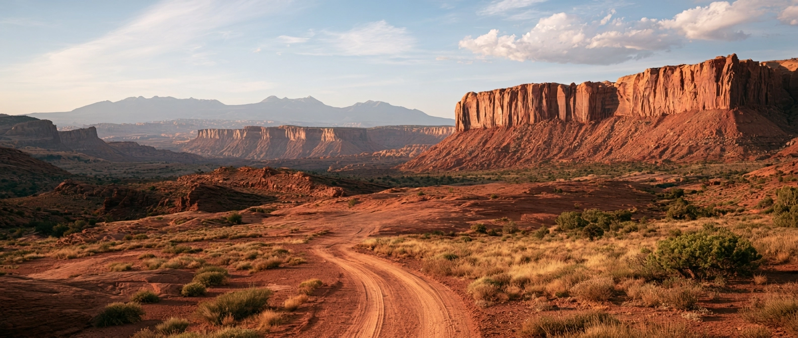
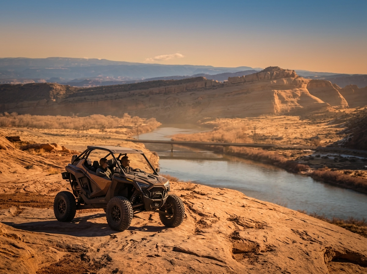
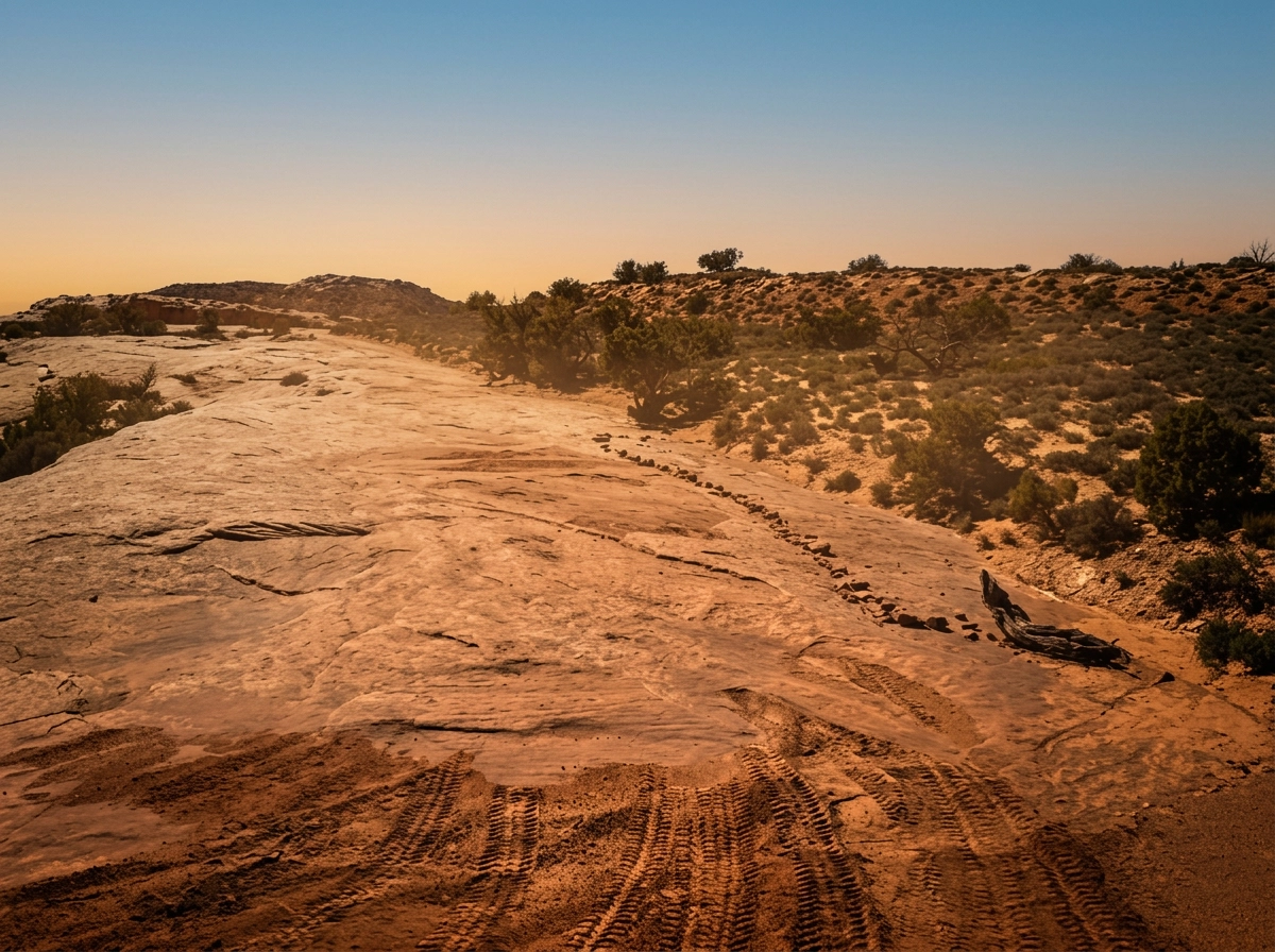
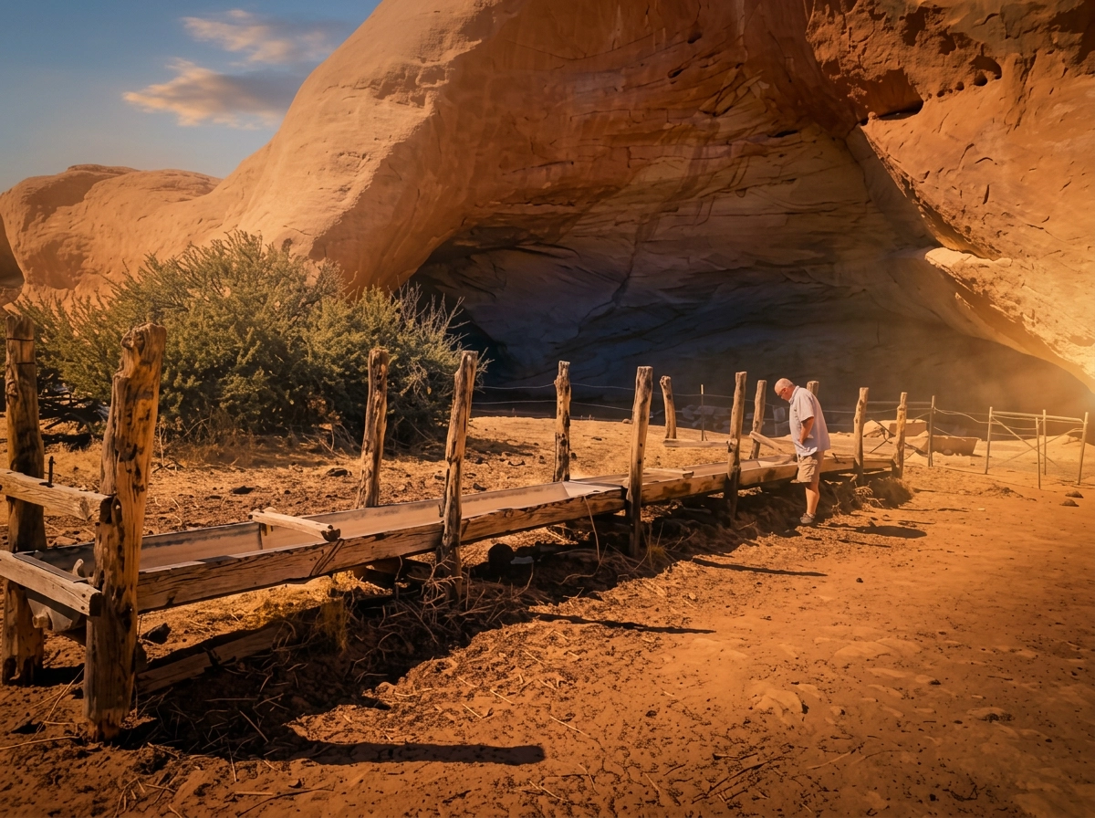
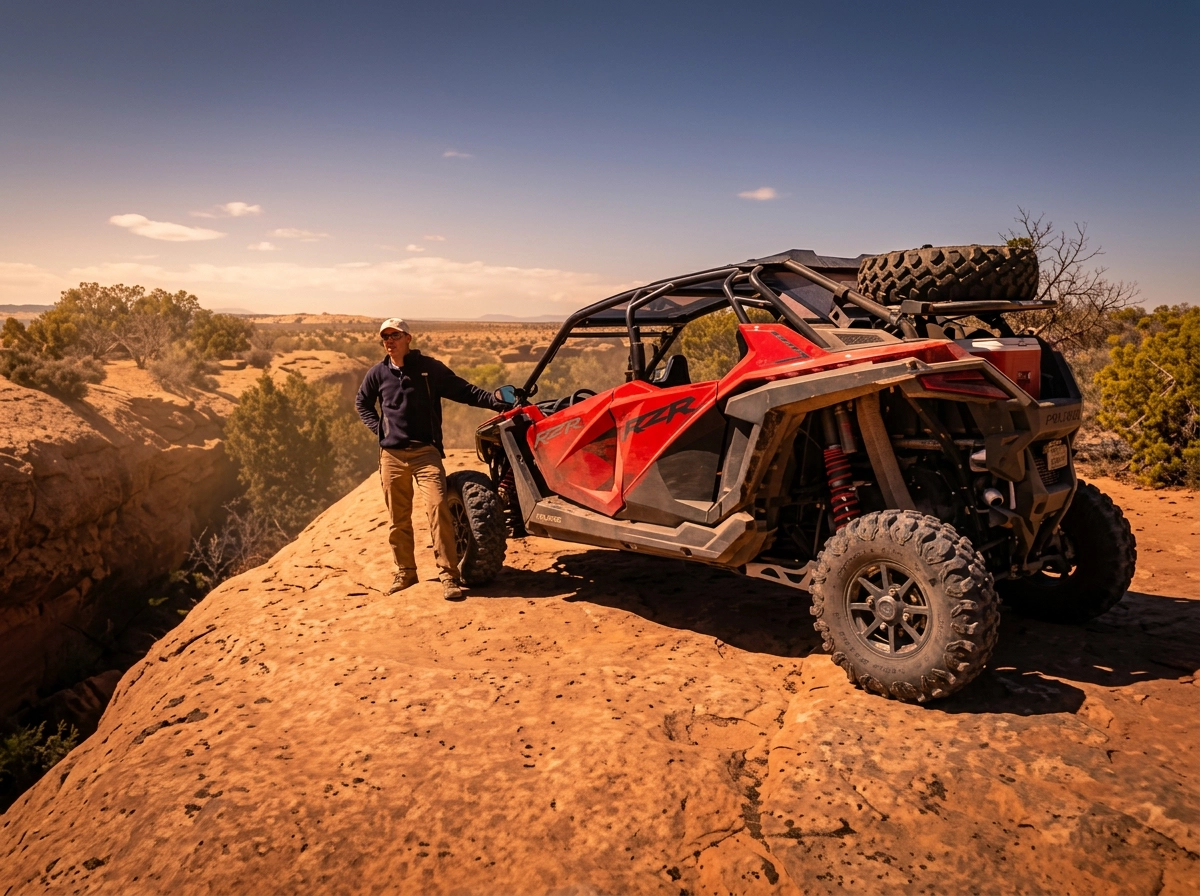
Head up the Colorado River past Dewey Bridge and climb onto Dome Plateau, a big highland north of the river and east of Arches National Park. The route winds through juniper and pinyon beneath red Entrada Sandstone cliffs, passing arches like La Boca, the huge wind caves at Cave Springs, and old mining camps with cabins still standing. The highlight is a cliff-edge overlook sitting about 1,700 feet above the Colorado River. Most of the ride is sandy dirt road with a handful of rocky ledges to keep things interesting, and plenty of stops along the way.
Trail Requirements
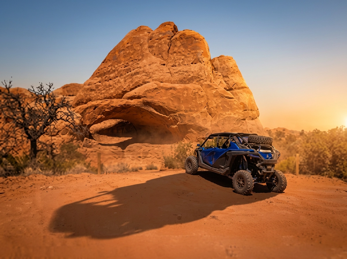
Road surfaces are rutted, rocky and sandy with steps not exceeding 14″, with considerable slickrock surfaces. Water not exceeding 12″ with some mud possible. Good vehicle approach and departure angles are helpful. Tall tires (30″ plus) recommended. Trailering to this trailhead is required.
Dome Plateau Directions
Directions To Meet Your Guide
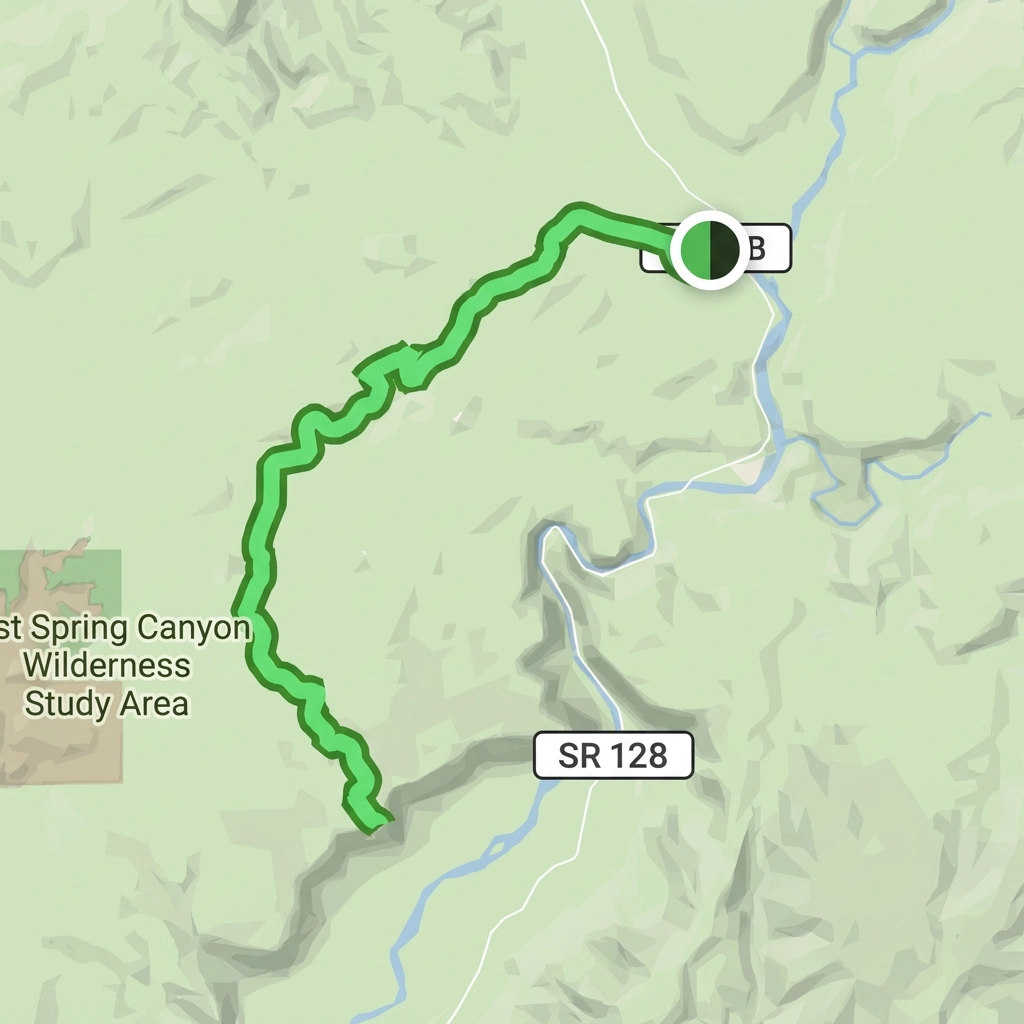
From Moab City Center head north on US 191. Just before the bridge turn right onto UT-128 East and continue on for 30.1 miles. Immediately after crossing Dewey Bridge the parking lot will be on your right or left. You can park on either side of the road. You will meet your guide in the smaller northern parking lot at coordinates 38.813598, -109.303488.
Parking
There is ample parking at the Dewey Bridge parking lot located just over the Dewey Bridge at coordinates 38.812931, -109.302690. However this lot will be shared by drivers for Top of the World and Dome Plateau. Pay attention to park along the south end of the lot to leave room for incoming and outgoing trucks and trailers. Parking is also available on the north side of the road directly north of the main parking lot. Please park in an orderly fashion and do not leave large spaces between trailers. Attendees are strongly encouraged to trailer to the parking lot.
Ride Dome Plateau With Us
Every ride is led by an experienced guide who knows the rock. Registration opens Black Friday, and guided ride spots are limited and go fast.